

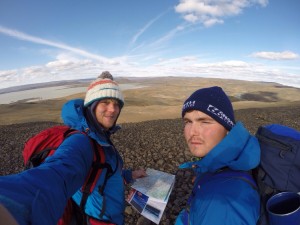
 On August 11th, 2014, my brother and I decided to attempt to cross Iceland on foot. We started from the south and walked north. It was bloody cold and ever bloody windier! But we had a great time. As we walked, we carried a GPS device which we pressed a couple of times a day to track our route. It didn’t work perfectly, but you can see the map below. We believe that we walked a little under 400 km (250 miles) during our traverse.
Errors to note:
1. We did not walk across the glacier in the south, we went around it. Sadly the GPS data for those few days was never logged by the machine (grr, technology), thus a straight line has been drawn north from near Vik, when in reality, we were much further east. The zig-zaggy part across the mountains is real however – our epic, nearly-kill-ourselves-climbing, mistake!
2. The machine stopped working again towards the end of the journey, making it appear as if we never actually reached the sea on the north coast of Iceland. We did, we definitely did.
3. As the map only features points, it sometimes makes the journey appear as if we were walking in straight lines. We were definitely almost never walking in straight lines, despite our best intentions.
For more information about this trip, please visit my Walking Across Iceland page.


Leave A Comment